Don't like the adverts?  Click here to remove them

Exploring Sierra de Cazorla, Spain

Mojo

Member
Joined
Jan 29, 2015
Messages
181
Country Flag
hong_kong
Just spent an exciting few days in Sierra de Cazorla, driving gravel tracks, wild camping and hiking up mountains. Those heading to the SE of Spain should think about driving in and doing the north/south route over the top. Highly recommended.

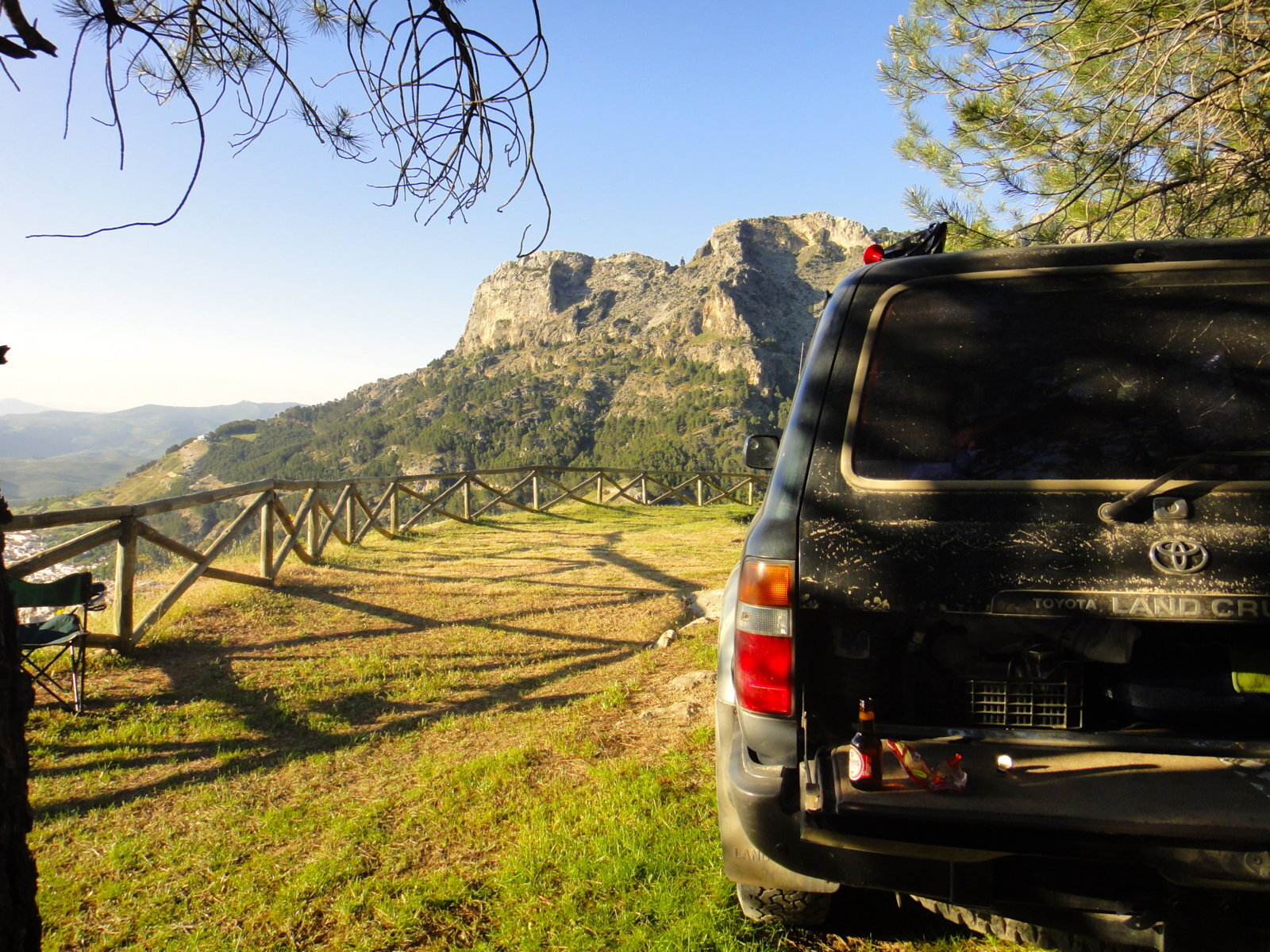
1. Main map of the area, which shows a 478 km hiking trail the GR247 (red). Within this area plenty of trails to explore. You will need both a GPS and a local tourist map as Spain is not known for marking anything very well. Roads that are off-limits have a barrier across them. Plenty of small towns around if you need to find a hostal or stock up on some food supplies.
DSC06331.jpg

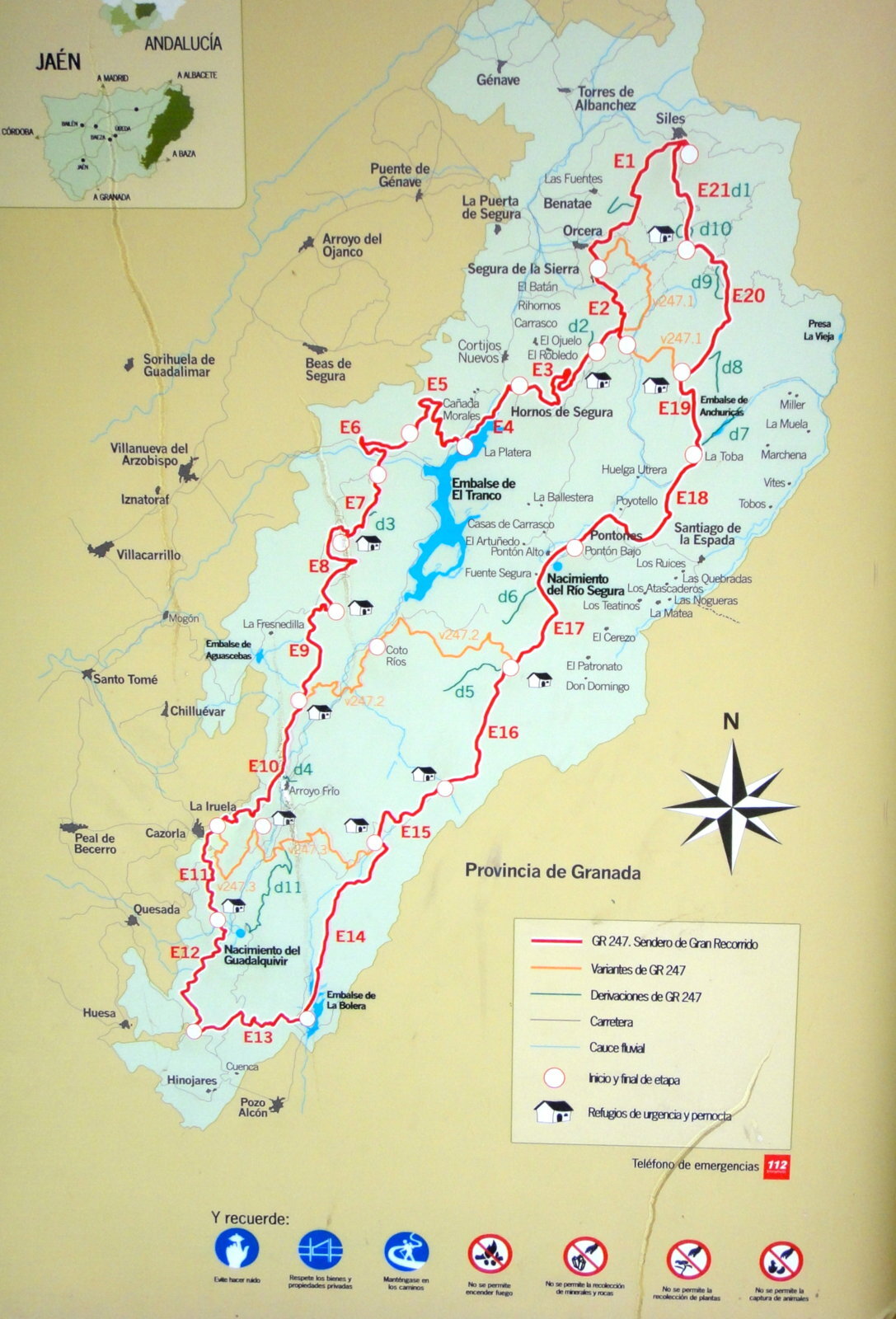
2. Some great wild camping spots. This one at El Tranco reservoir.
DSC06406.JPG

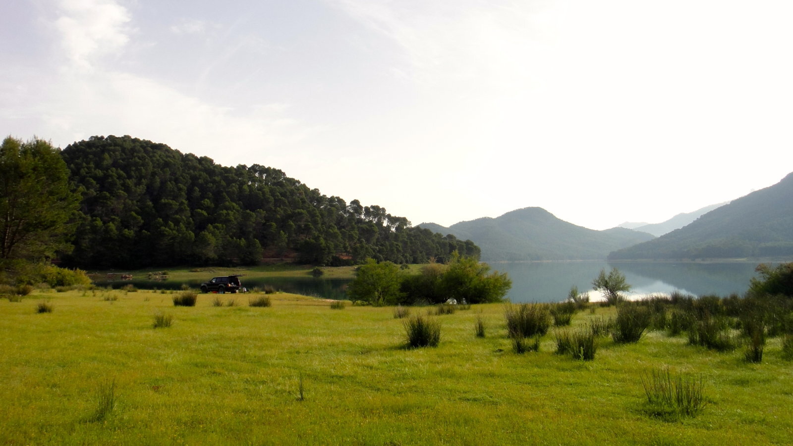
3. Quality of tracks very good. Mostly gravel and potholes. The remoteness 'if' things go wrong is the biggest issue. But then we all drive Landcruisers....
DSC06383.JPG

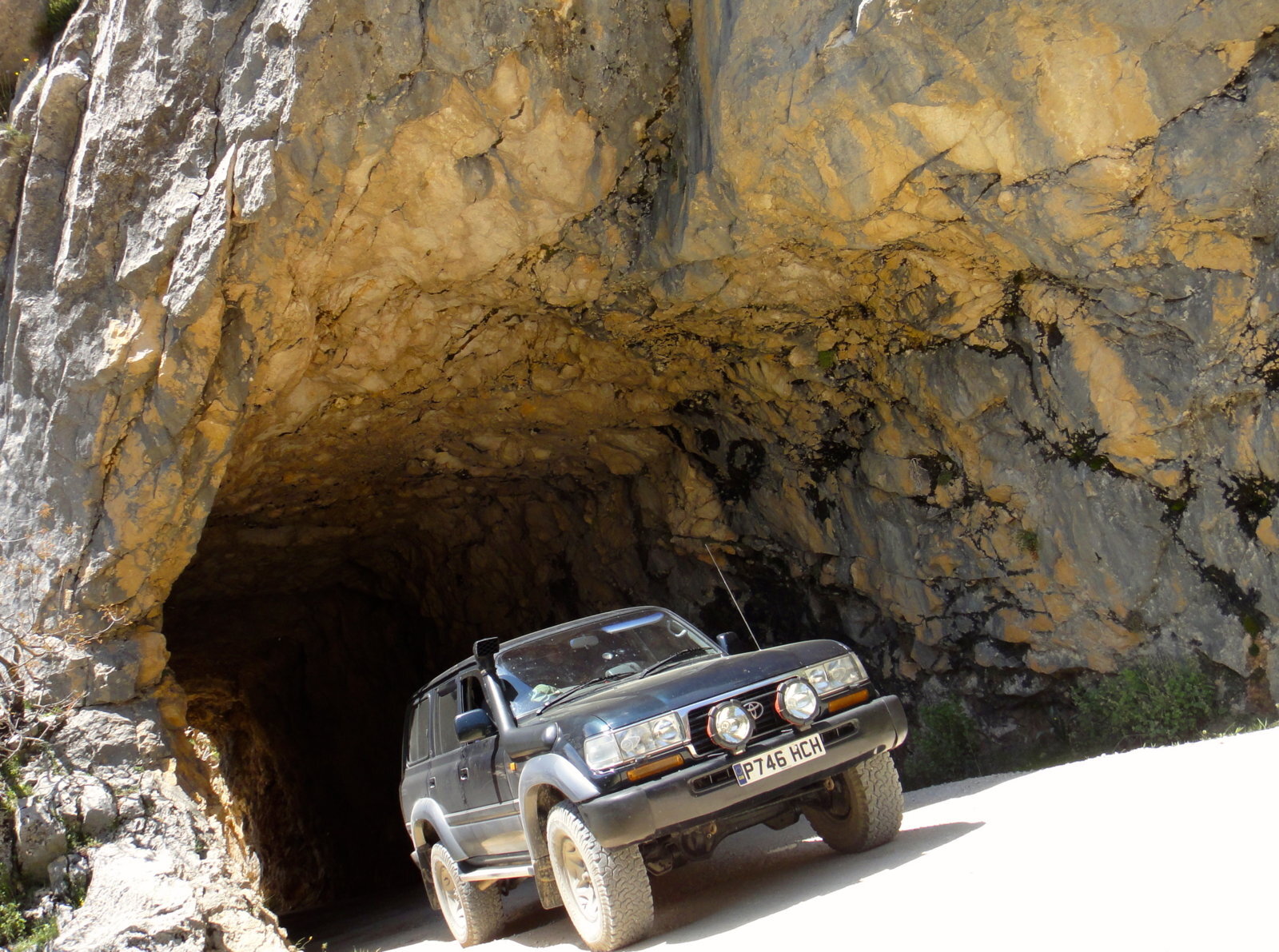
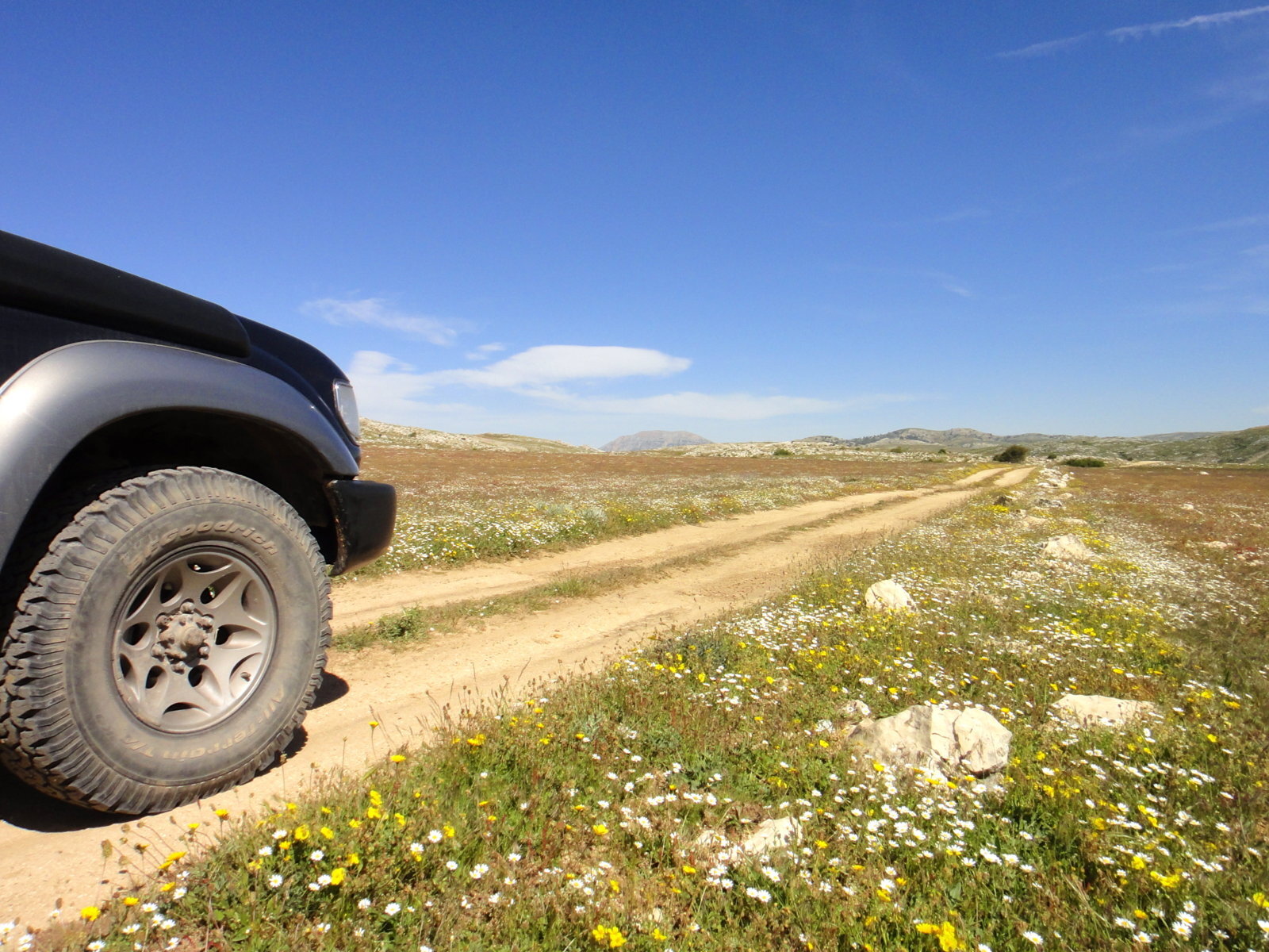
4. The high road over the top..at least 75-100km long.
DSC06486.JPG


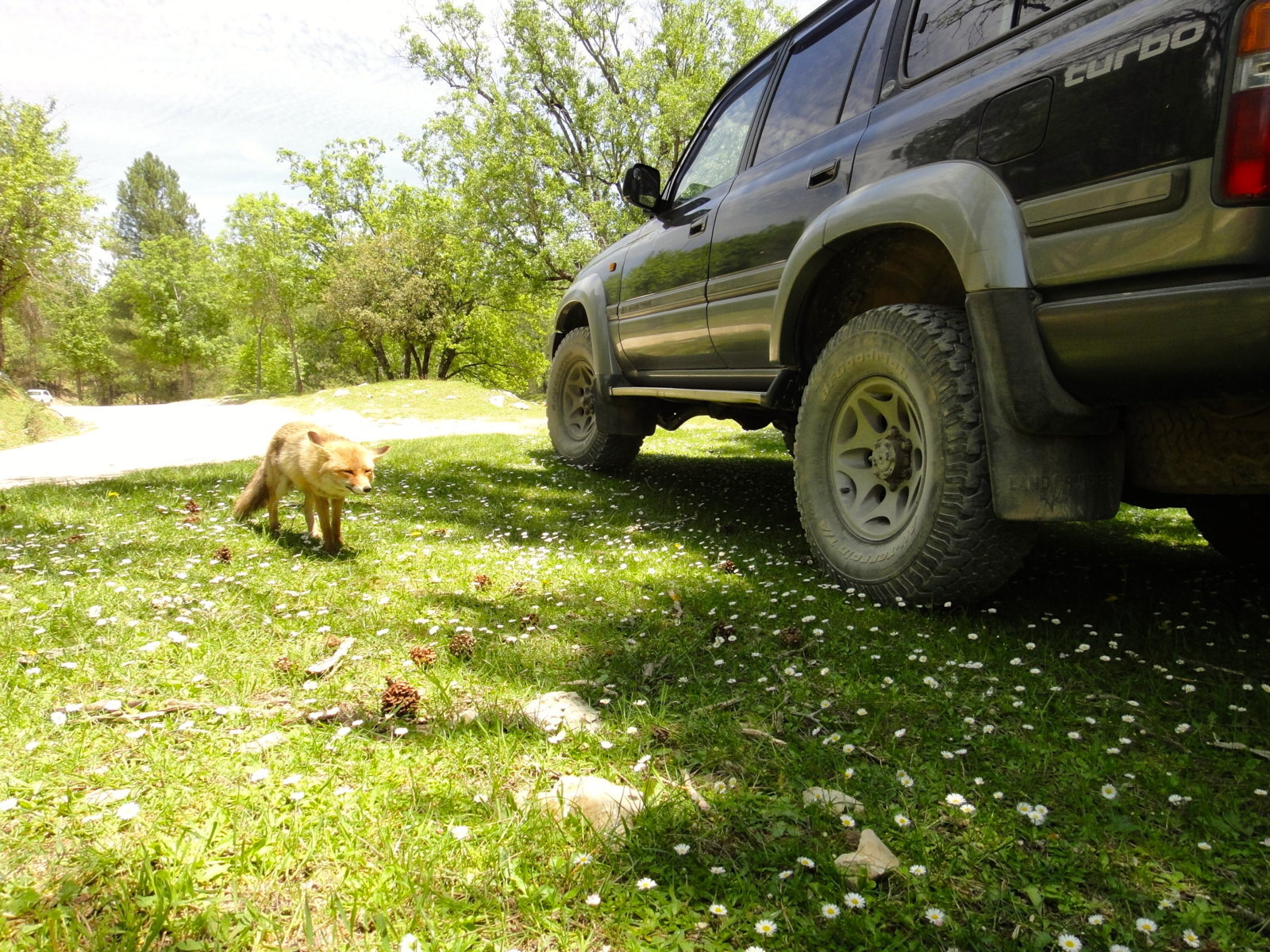
5. Lots of cunning foxes around at lunch spots.
DSC06378.JPG

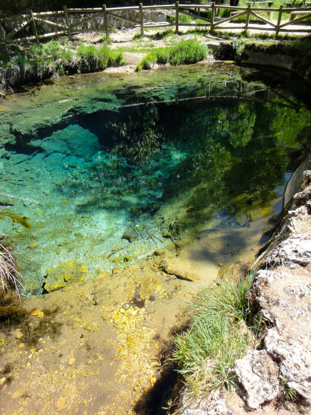
6. Crystal clear springs to stock up on water.
DSC06481.jpg


8. Best room with a view
DSC06514.JPG
 
Fabulous views. And the scenery's pretty good too.

Nice looking 80. Mmm.
 
We are already talking about building this trail in as a part of the return run from Tabernas. I have asked Mojo for the relevant co-ordinates. Looks superb and not too far from us, we will be going there as soon as time permits.
 
Great pics Mojo, thanks for sharing.

I was having the same thoughts as Rodger, Tabernas to Sierra de Cazorla is only a stones throw in an 80... a plan is forming :)
 
Just spent an exciting few days in Sierra de Cazorla, driving gravel tracks, wild camping and hiking up mountains. Those heading to the SE of Spain should think about driving in and doing the north/south route over the top. Highly recommended.

1. Main map of the area, which shows a 478 km hiking trail the GR247 (red). Within this area plenty of trails to explore. You will need both a GPS and a local tourist map as Spain is not known for marking anything very well. Roads that are off-limits have a barrier across them. Plenty of small towns around if you need to find a hostal or stock up on some food supplies.
View attachment 101855

2. Some great wild camping spots. This one at El Tranco reservoir.
View attachment 101856

3. Quality of tracks very good. Mostly gravel and potholes. The remoteness 'if' things go wrong is the biggest issue. But then we all drive Landcruisers....
View attachment 101858

4. The high road over the top..at least 75-100km long.
View attachment 101859


5. Lots of cunning foxes around at lunch spots.
View attachment 101860

6. Crystal clear springs to stock up on water.
View attachment 101861


8. Best room with a view
View attachment 101862
wild camping at less than 1000 M is illegal in Spain & most easily accessible places patrolled regularly by the feds - best to sneak off into the undergrowth.Good report btw
 
Lovely post Mojo, and great photies :thumbup:

Beats my one and only visit to the country many, many moons ago, beer, beach and booty, well that was the intention, 2 out of 3, so it could have been worse.

Thank goodness for growing up!

Thanks for posting...
 
Don't like the adverts?  Click here to remove them
Great pictures & wonderful scenery ......478KM now thats a adventure :dance:

Like the pajero wheels not something we see often.

Thanked for sharing
 
Hi guys,
I am in Spain, down near Málaga, but Tabernas is only just up the road.
If you are planning another trip, give me a shout. PM me your email address if you like. Ian
 
Looks great! We hope to be hitting Tabernas in Early October :)
 
We are already talking about building this trail in as a part of the return run from Tabernas. I have asked Mojo for the relevant co-ordinates. Looks superb and not too far from us, we will be going there as soon as time permits.

Excellent idea!
 
Back
Top