Don't like the adverts?  Click here to remove them

qct maps of Portuguese Pyrenees.

wobbly

Well-Known Member
Joined
Nov 27, 2010
Messages
2,686
Garage
I am now running AlpineQuest for navigation.

I have a trip to the portugal / spanish pyrenees in planning, and am trying to get hold of qct type mapping files.

Does anyone have any? If you have them in a different file type please let me know and I can check compatability.

Cheers

Pete
 
I thought QCT was the memory map format?
 
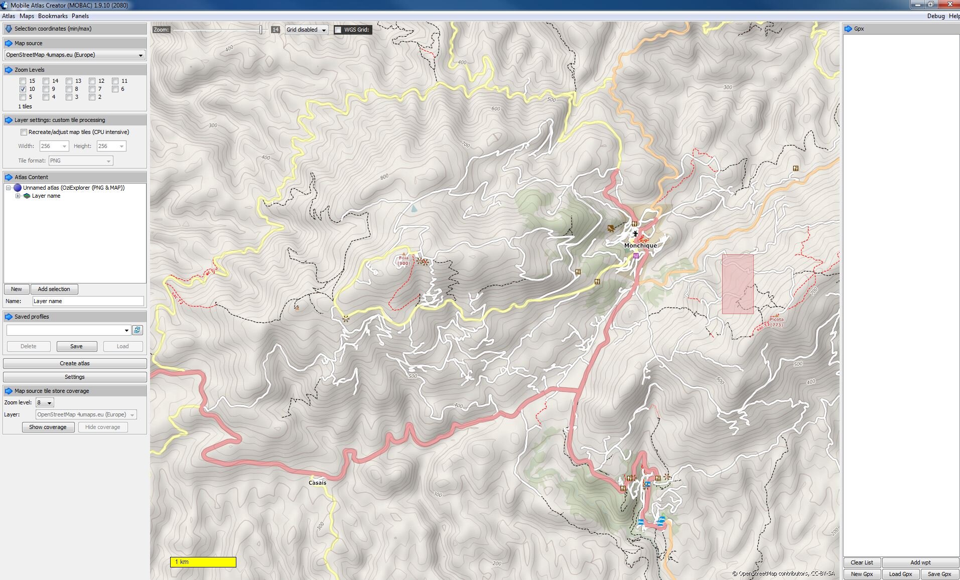
here is a screenshot of an open streetmap view of an area of Portugal (Algarve)
 

Attachments

  • Capture.JPG
    Capture.JPG
    381 KB · Views: 164
Thanks. I will have a look at how difficult it is, im not over-encumbered with technical ability....

QCT was the format memory map used initially, but because its unencrypted they changed, cos people werent buying them. Its not their format though, just the one they chose to use.

The best maps are the 1:25000 military ones, but I would need loads of them.

Will check out the opensource ones, but im using tracks in sparsely occupied areas, so maybe not the volume of users updating the maps.

Cheers

Pete
 
"Thanks. I will have a look at how difficult it is, im not over-encumbered with technical ability...."

its not too difficult to use... but.. although I am a Geologist, i do work in technical sales in an oil & gas software company these days... so have some degree of technical ability :)
so it might not be easy for everyone to figure out :wtf:
 
Last edited:
Don't like the adverts?  Click here to remove them
Back
Top